Laboratory of Geographic Information Systems and Technologies
Laboratory of Geographic Information Systems and Technologies is a mega-laboratory of the Institute of Radio Electronics and Informatics, under the Department of Geographic Information Systems. It was established for training students to work with advanced geo-information software and prepare them for handling real-life applied problems.
The Main Spheres of Laboratory Activities
- Development of geographic information systems and complexes at various levels and platforms; development of methods for processing spatial data
- Research in spatial data processing and analysis
- Study of real-world objects and the interconnections thereof via geo-information modeling
- Development of geo-information models, geo-information systems, geo-applications, geo-tools and application modules related to handling of spatial data; of services that use spatial data; of geo-portals
Skills Acquired Using Laboratory Capabilities
In the course of training, students acquire skills necessary to develop geographic information systems and complexes at various levels and platforms; they also learn to process and analyze spatial data, including aerospace images, and learn geo-portals and geo-services developing techniques.
The laboratory contributes to training of future specialists in development and operation of geographic information systems and complexes at various levels, for processing and analysis of spatial data, development of geo-portals, geo-services and business solutions for a wide range of consumers in the public and private sector.
Bachelors and undergraduates are trained in the laboratory in the areas listed below:
- 05.03.03 Cartography and Geo-Informatics (Bachelor's Degree), specialization: Geo-Information Systems and Complexes
- 05.04.03 Cartography and Geo-Informatics (Master's Degree) under the program: Aerospace Sensing, Geo-Information Systems and Complexes
- 09.03.02 Information Systems and Technologies (Bachelor's Degree), specialization: Geo-Information Systems
Laboratory equipment
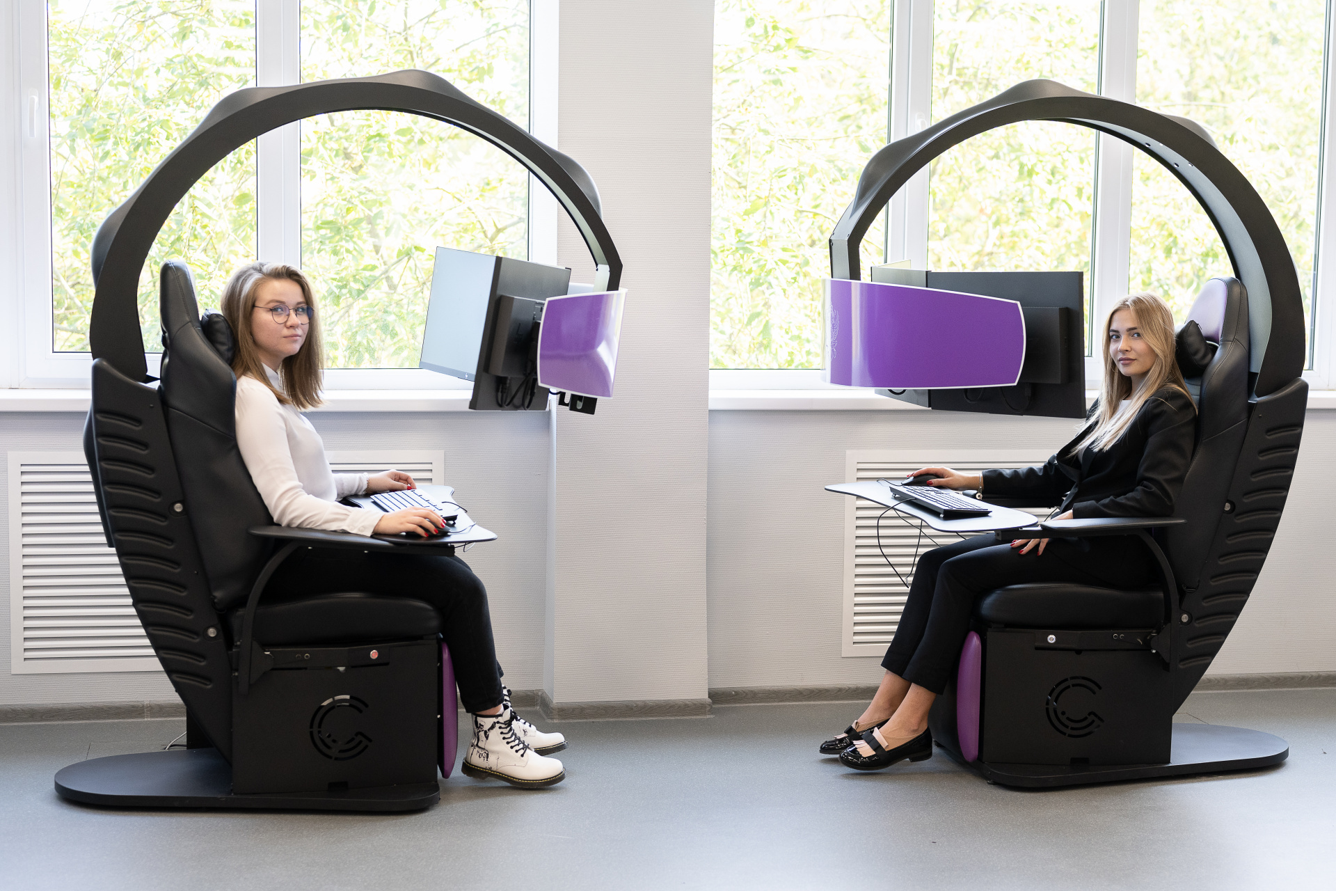
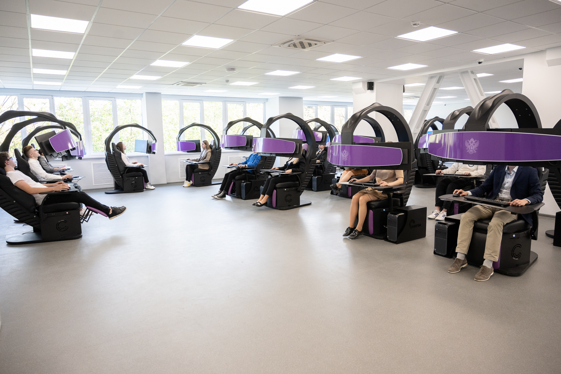
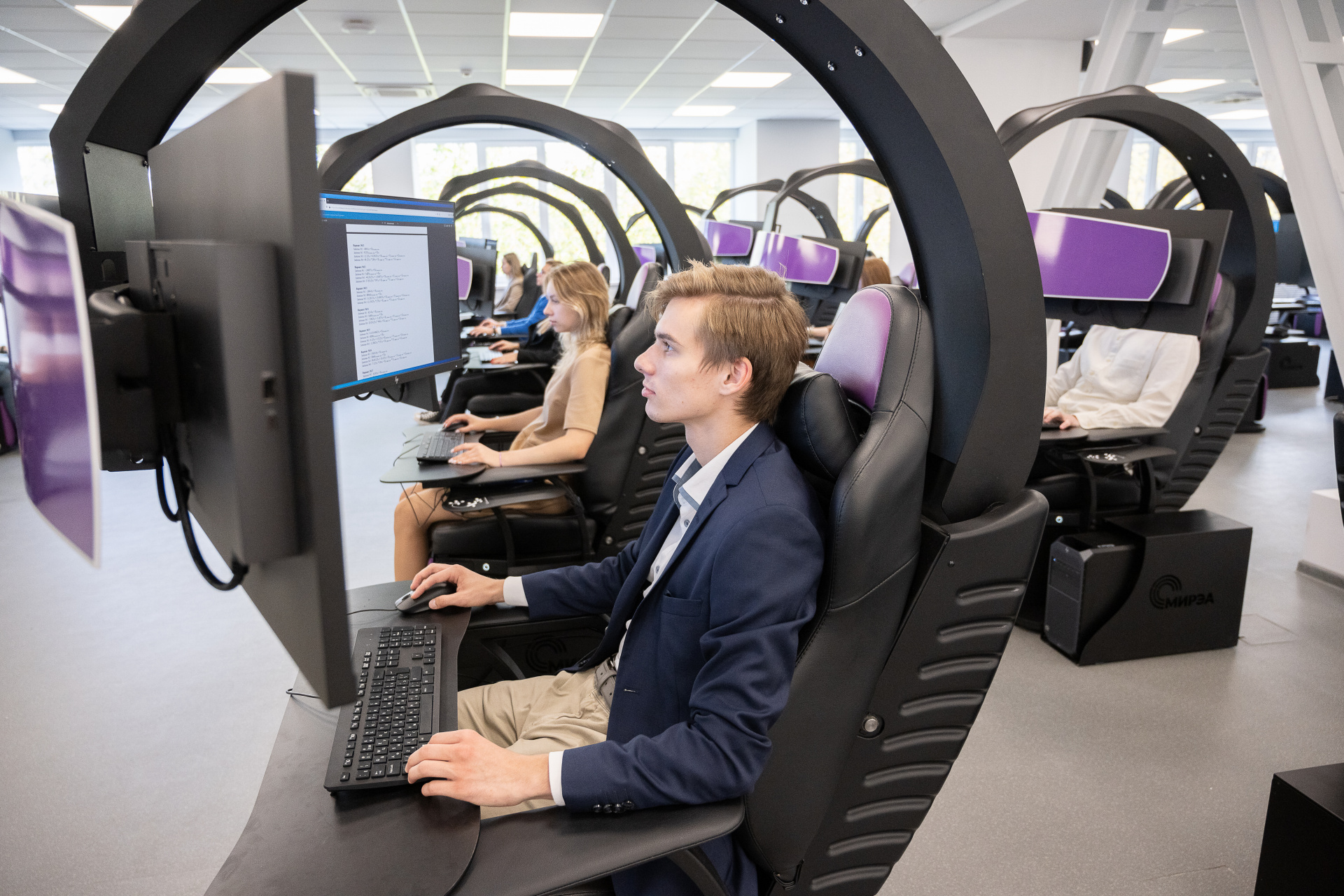
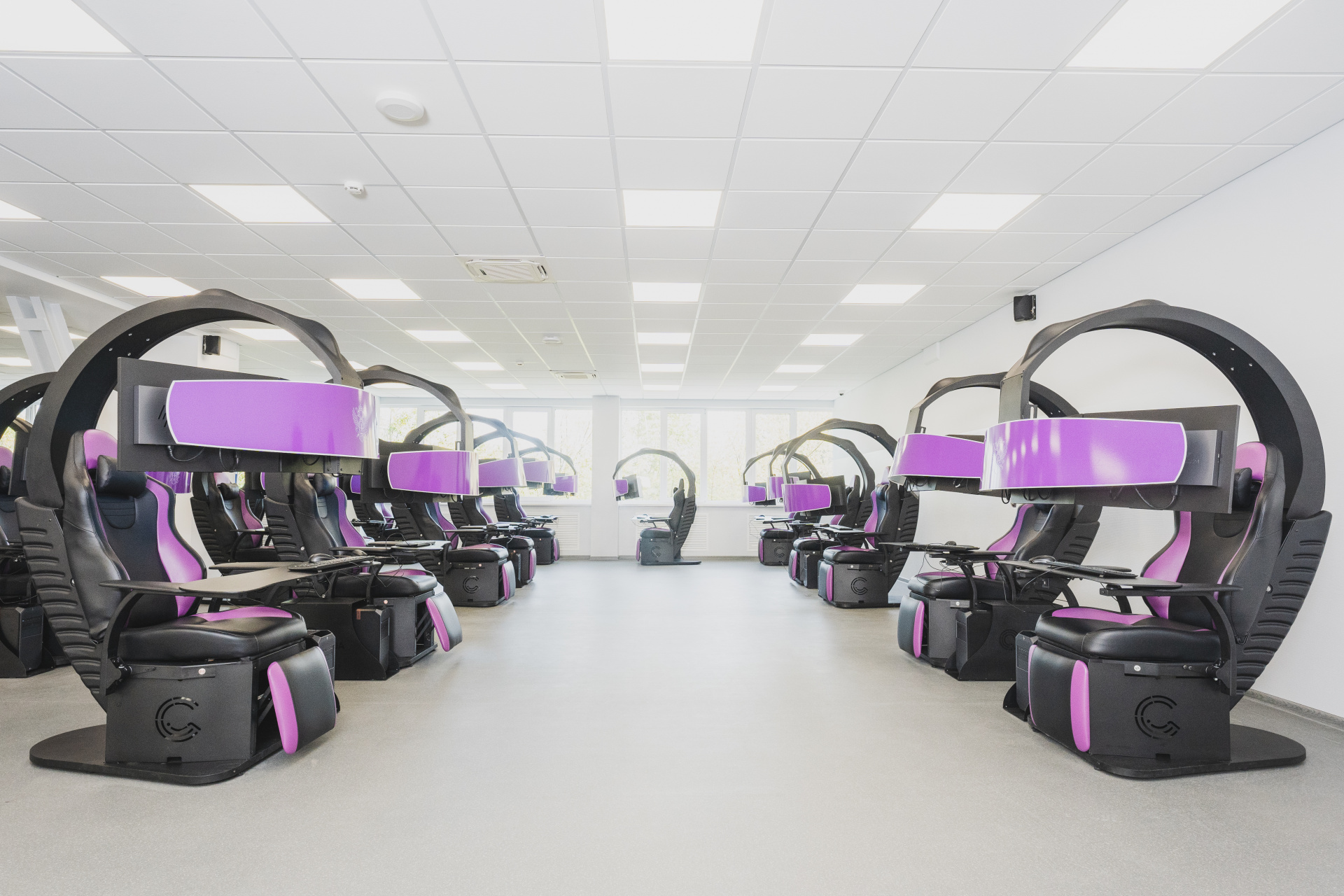
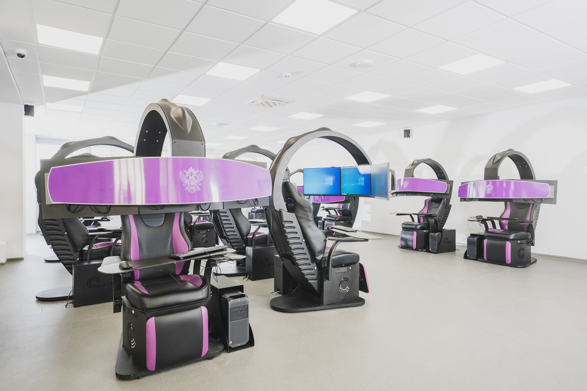
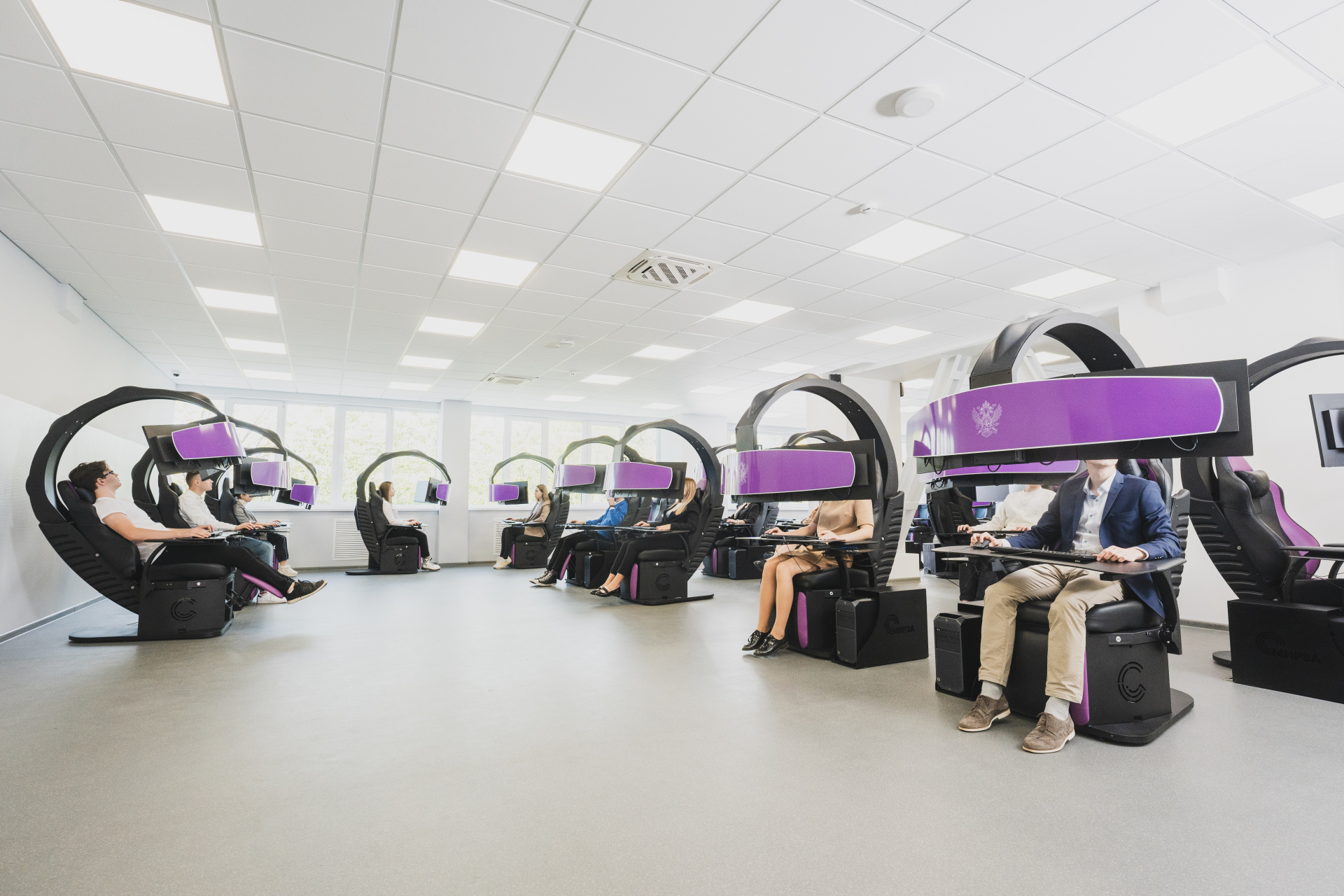
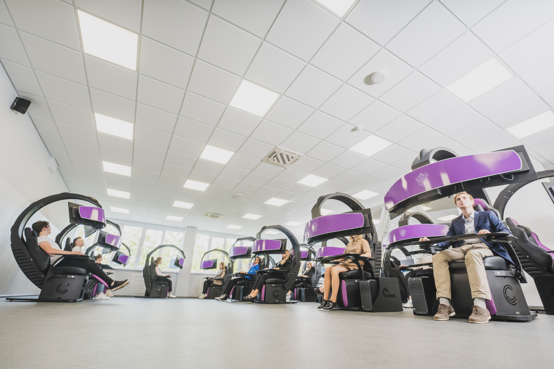
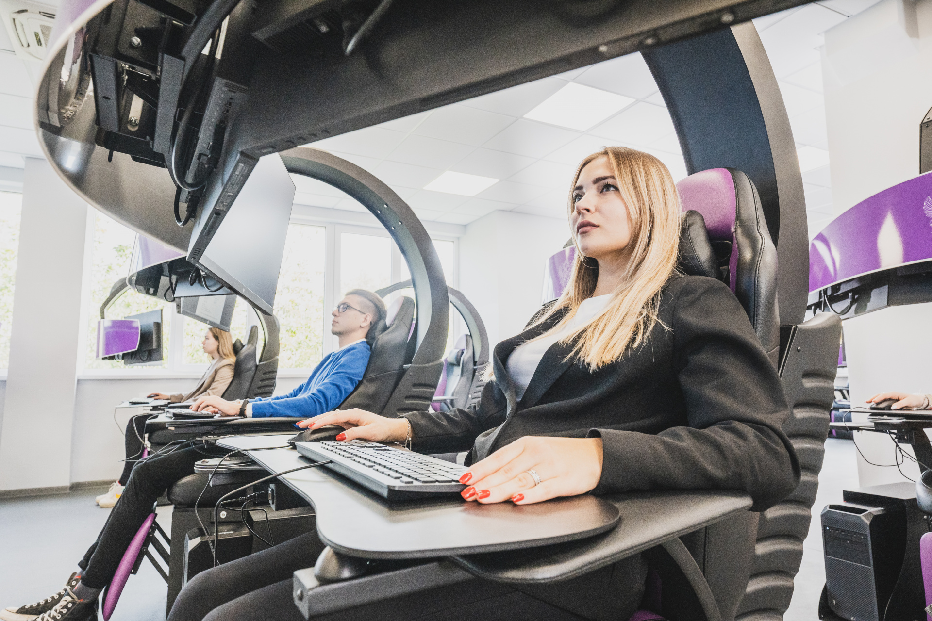
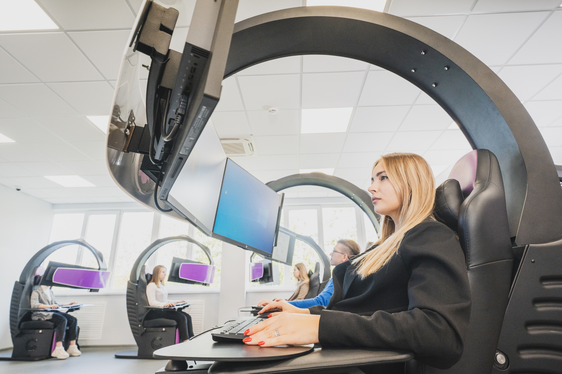
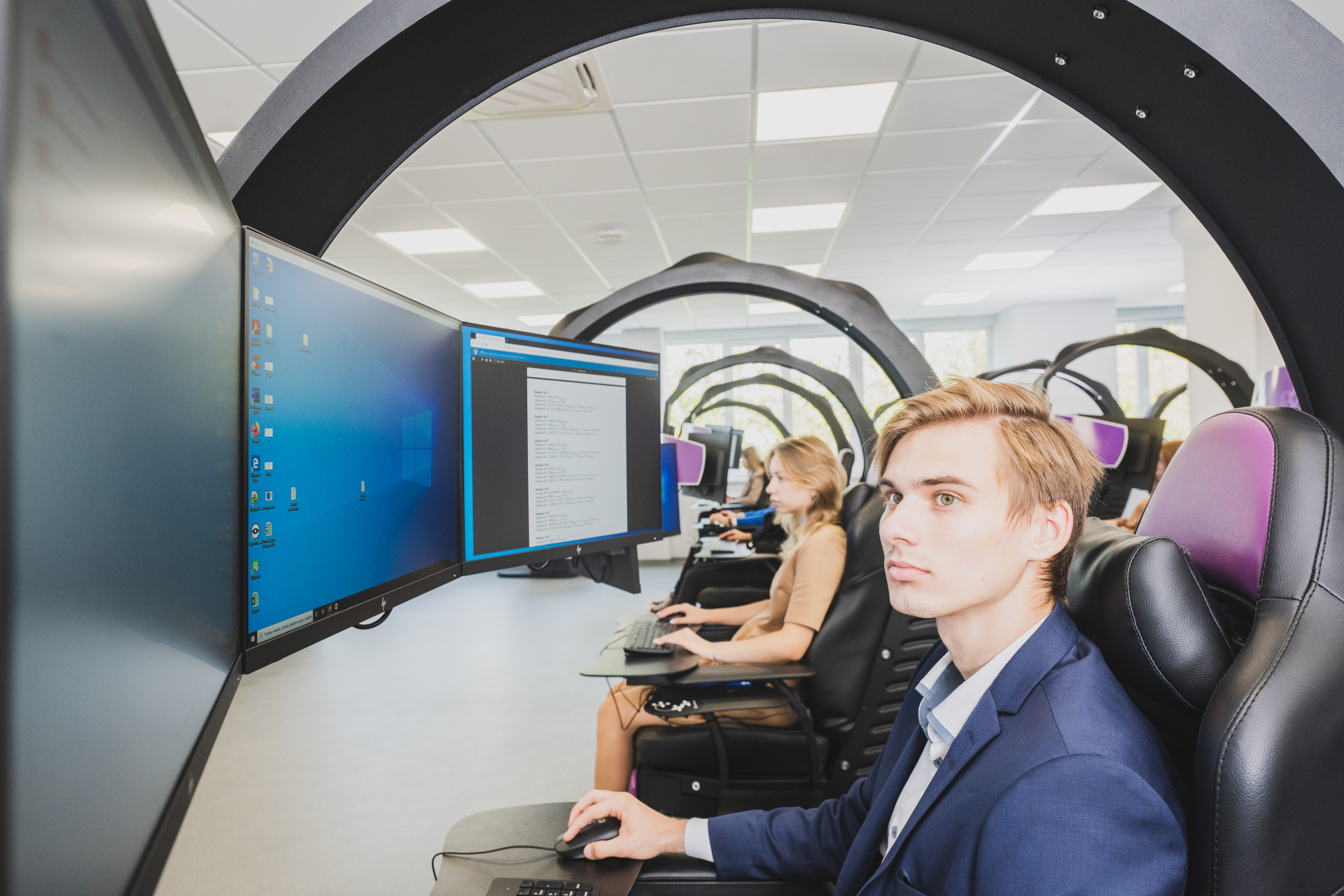
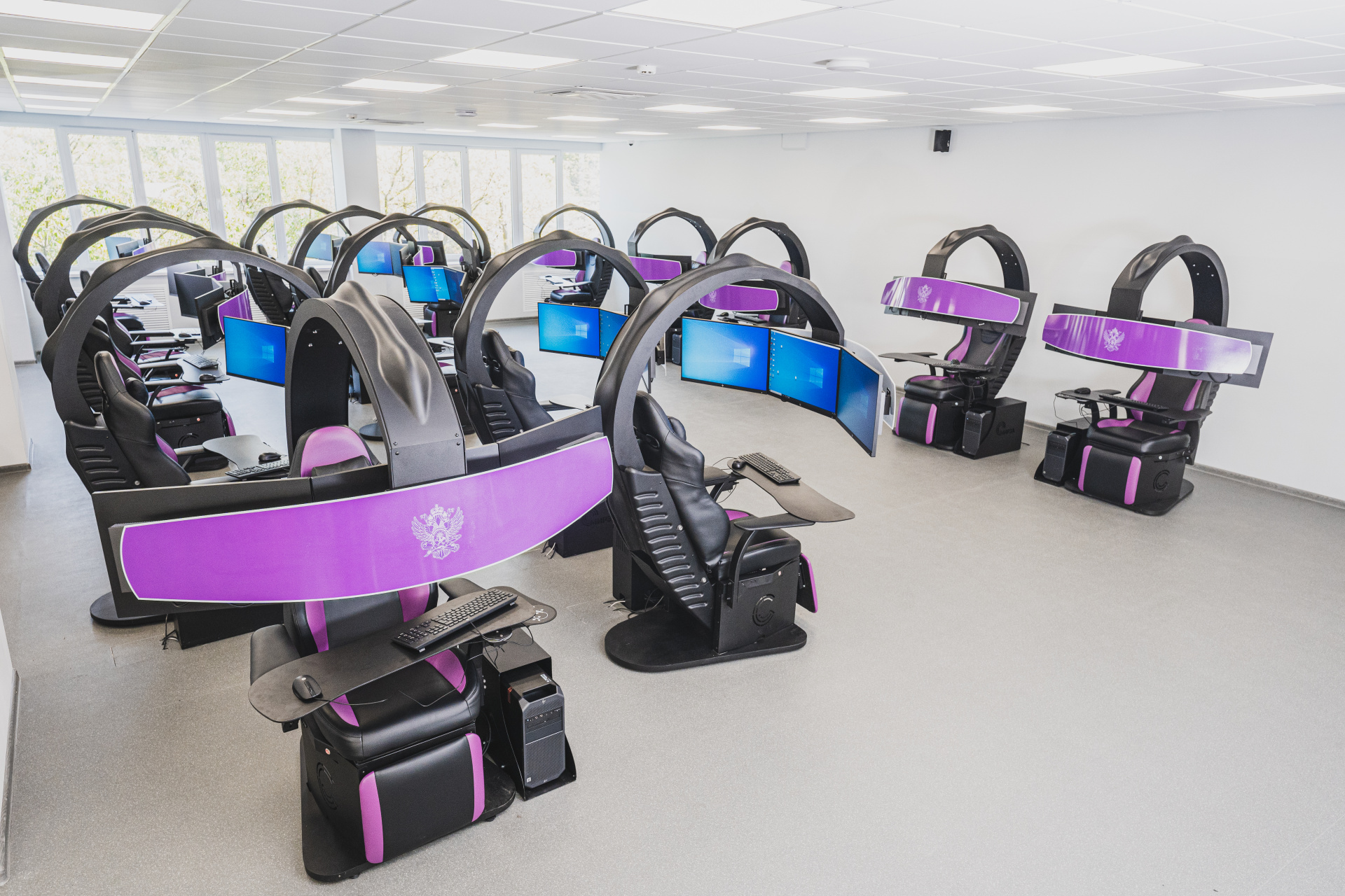
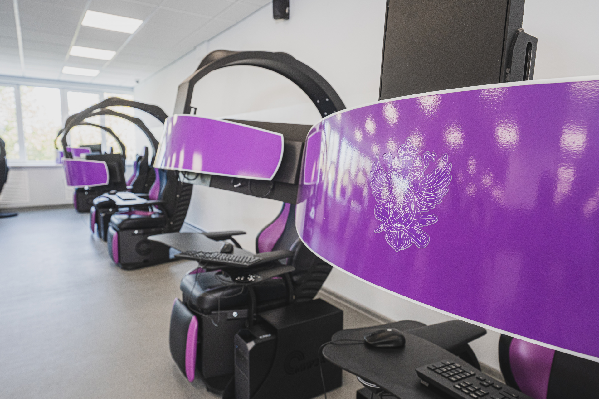
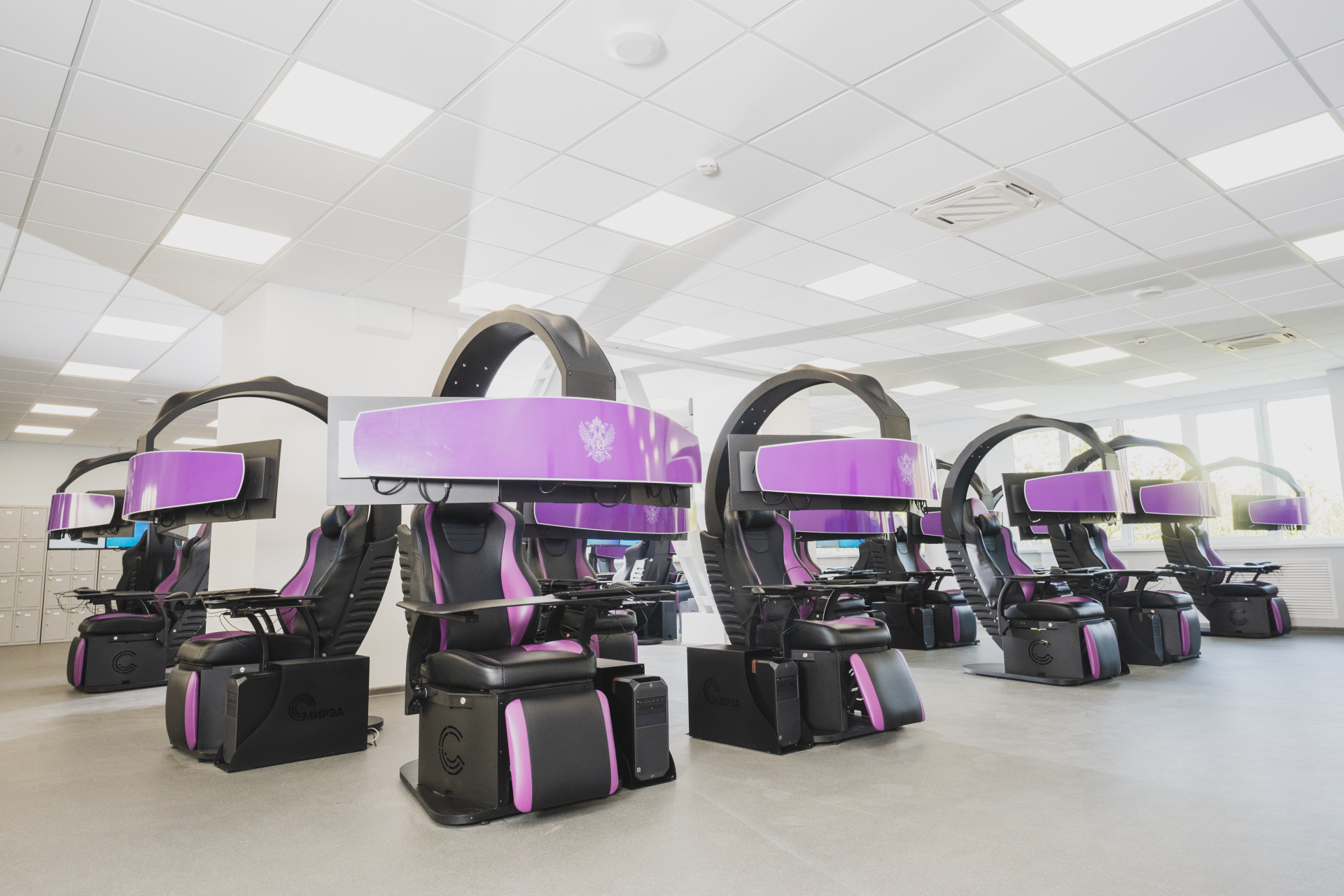
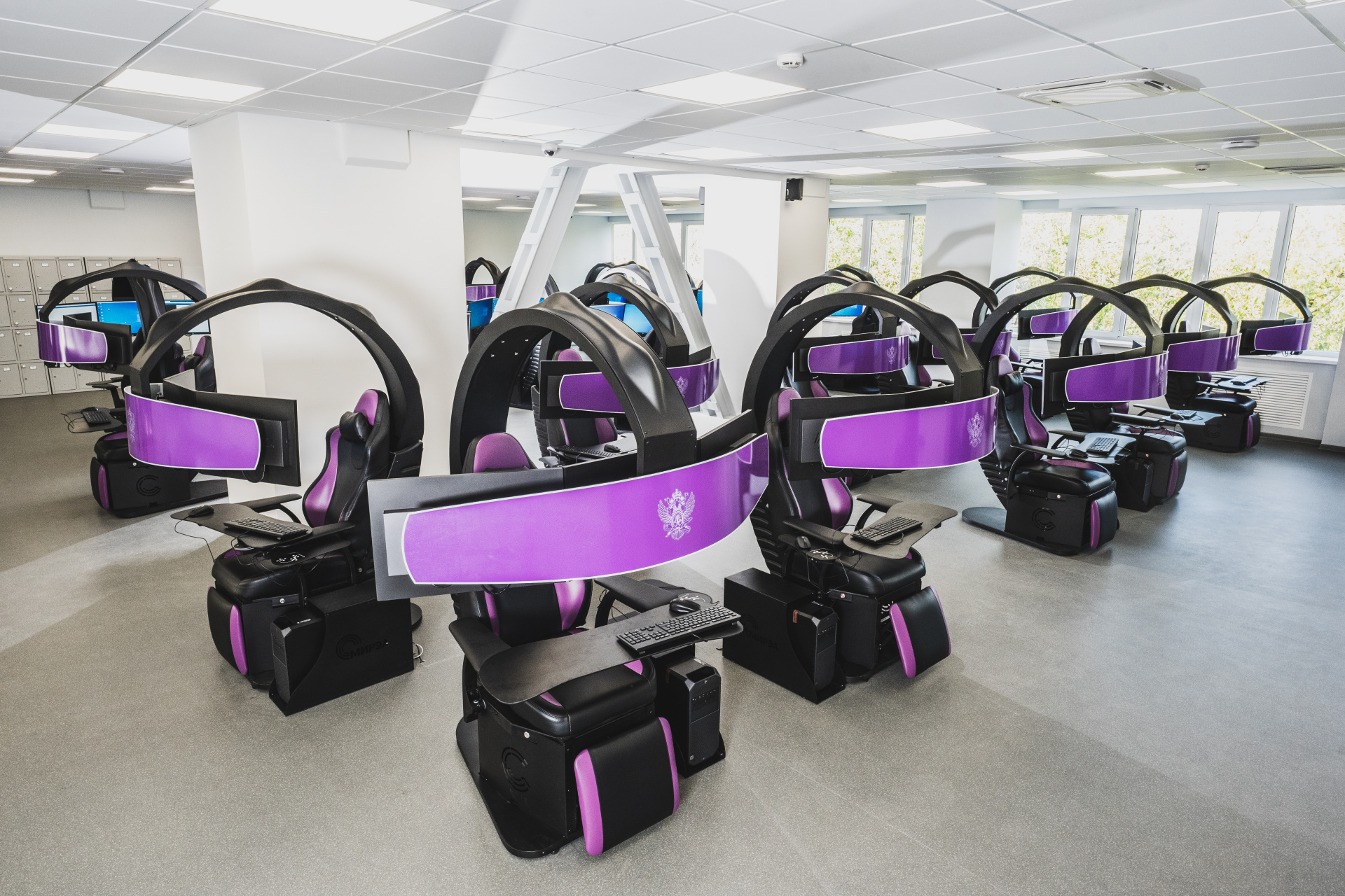
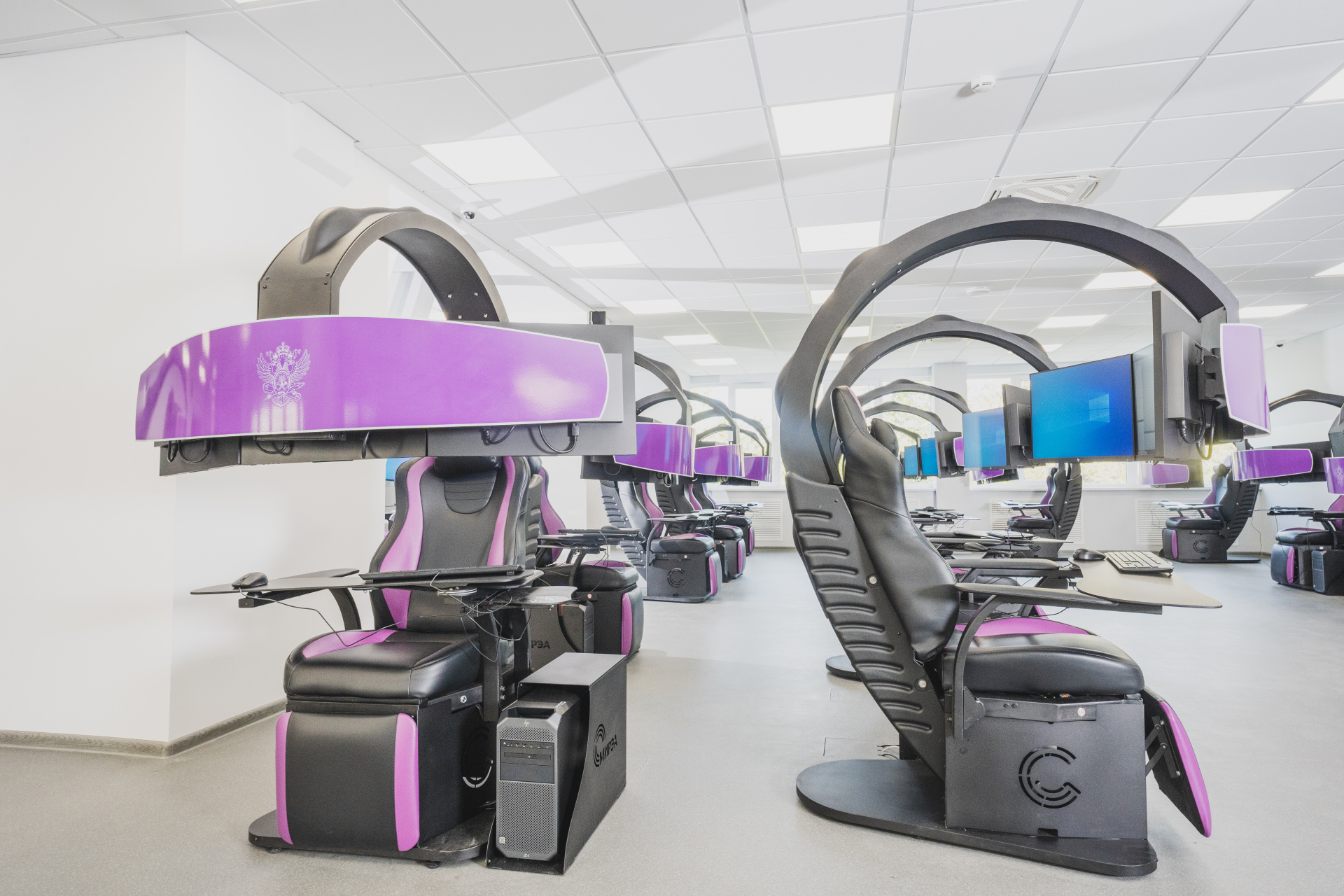
- Modern workplaces are equipped with comfortable cyber chairs and high-performance computers with professional video cards and three monitors
- NettleBox Hologram table which allows to display three-dimensional dynamic models
- Reproductive storage of geodata volume of 0.25 petabytes
Projects that students can implement in the laboratory
- Aerial imagery processing and spatial data generation
- Development of geo-services and geo-information software
- Monitoring of emergencies and projections for the development of emergency situations on the basis of remote sensing and Earth observation data
- Construction of three-dimensional geo-models
- Processing of big spatial data


© 2025 MIREA - Russian Technological University